How to Hike the Zugspitze or Reach Its Summit
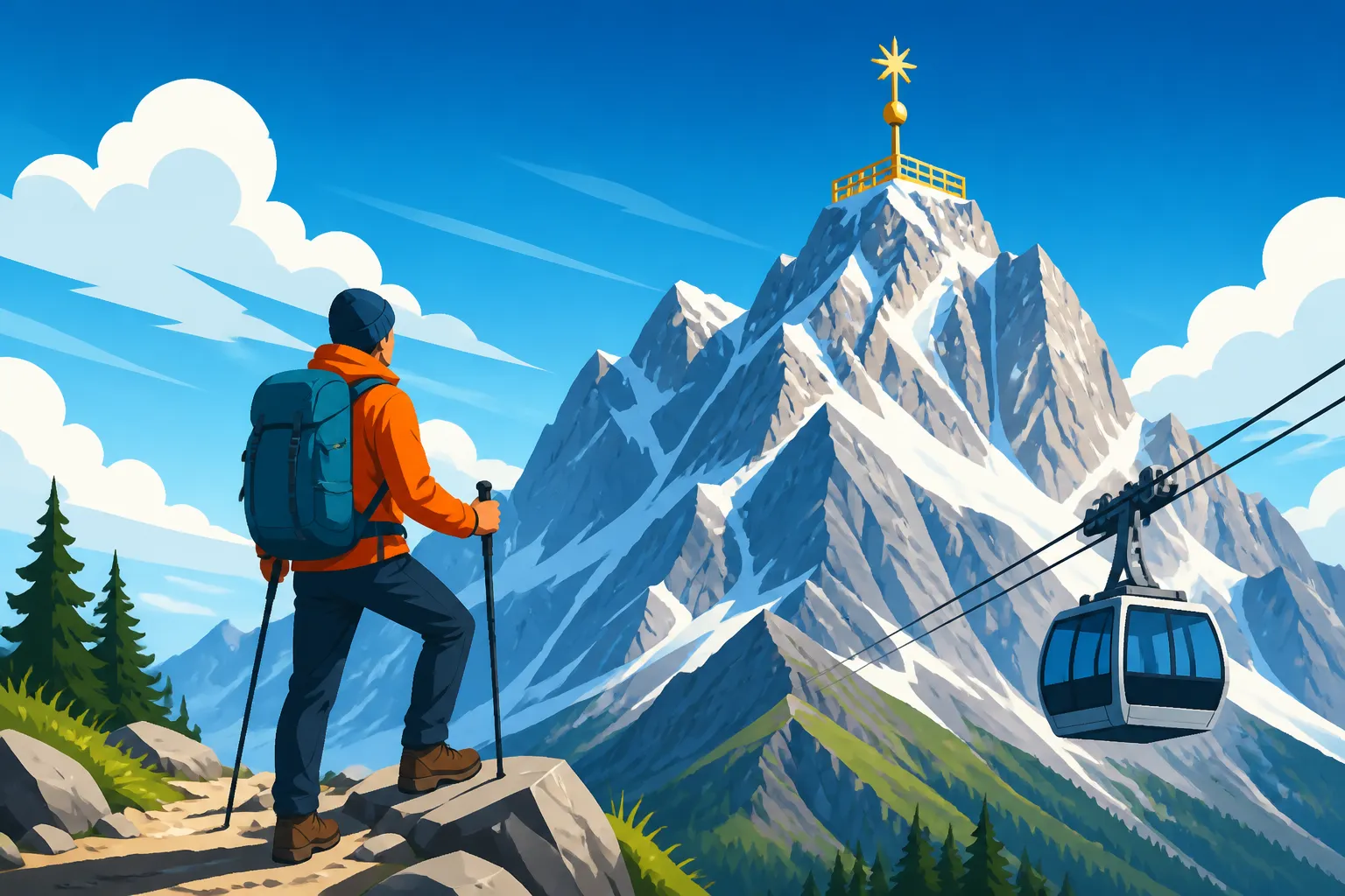
Standing at the base of the Bavarian Alps, many newcomers feel a mix of awe and intimidation when looking toward the jagged silhouette of the Zugspitze. Whether you are a seasoned trekker or a casual tourist, the challenge is often figuring out which path fits your skill level without risking a dangerous mountain rescue. This guide simplifies every method to reach Germany's highest point, ensuring your Alpine adventure is both safe and memorable.
Disclosure: This post may contain affiliate links. We may earn a commission at no extra cost to you if you make a purchase through these links. Read full disclosure.
Choosing Your Path: The Different Ways to Conquer the Zugspitze
Deciding how to tackle the Zugspitze is the first hurdle. If you talk to locals in Garmisch-Partenkirchen, they will tell you that the mountain has many faces. Some see it as a weekend-long physical trial, while others view it as a scenic afternoon trip. The frustration for many expats is that "moderate" in German hiking terms often means "vertigo-inducing" to everyone else. You need to be brutally honest with yourself about your fitness and experience before you set foot on a trail.
The Reintal Route: The Classic and Easiest Hike
The Reintal route is widely considered the easiest way to hike the Zugspitze, but "easy" is a relative term. This is a massive endurance feat covering roughly 21 kilometers and gaining over 2,200 meters in elevation. Most hikers choose to split this into two days, staying overnight at the Reintalangerhütte or the Knorrhütte. The path follows the Partnach River, passing through the dramatic Partnachklamm gorge, which is an experience in itself. As you move deeper into Bavaria for Travelers: Munich, the Alps, and Beyond, the valley opens up into a stunning, glacial landscape that feels worlds away from the tourist crowds.
The real challenge of the Reintal route isn't technical climbing; it is the final push. After you pass the Knorrhütte, you enter the "Zugspitzplatt," a lunar-like plateau of limestone and scree. The last 500 meters of ascent are famously grueling, as the loose rocks make you feel like you are taking one step back for every two steps forward. I have seen many fit hikers nearly give up here. However, the path is well-marked and lacks the sheer drop-offs found on other routes, making it the best choice if you want to say you climbed the mountain without needing via ferrata gear.
The Höllental Route: For the Adventurous Alpinist
If the Reintal is the long walk, the Höllental (Valley of Hell) is the dramatic climb. This route is arguably the most beautiful, but it requires specialized equipment, including a harness, via ferrata set, and crampons. You will trek through the Höllental gorge, cross a literal glacier (the Höllentalferner), and then scale a near-vertical rock face using steel cables and ladders. This is where Hiking in Germany: The Black Forest, Alps, and Beyond becomes a serious alpine undertaking.
The difficulty of the Höllental route is often underestimated by those who haven't dealt with "Randkluft" issues—the gap between the melting glacier ice and the rock wall. Depending on the time of year, this transition can be nerve-wracking. If you aren't an experienced climber, I strongly suggest booking a guided tour through GetYourGuide to ensure you have a professional lead you through the technical sections. The views from the "Brett," a series of iron pins hammered into a sheer cliff, are legendary, but they are not for those with even a hint of acrophobia.
The Stopselzieher Route: The Austrian Alternative
Many people forget that the Zugspitze sits right on the border with Austria. Starting from the town of Ehrwald, the Stopselzieher route is shorter and faster than the German routes but still involves significant scrambling. It is a via ferrata route (Grade A/B), meaning it is easier than the Höllental but more technical than the Reintal. You will pass the Wiener-Neustädter-Hütte, a charming mountain hut perched on the edge of a cliff, which serves as a great spot to catch your breath.
The name "Stopselzieher" translates to "corkscrew," referring to a natural tunnel-like chimney you must climb through. It is a fantastic option if you are short on time but still want a "real" mountain experience. Just keep in mind that parking in Ehrwald is often easier than in Garmisch, and you can always use Omio to compare train and bus connections if you are traveling from Munich or Innsbruck to reach the trailhead.
| Route Name | Difficulty | Time Required | Technical Gear Needed | Start Point |
|---|---|---|---|---|
| Reintal | Moderate (Endurance) | 8–11 hours (2 days recommended) | None (Sturdy boots) | Garmisch (Skistadion) |
| Höllental | Difficult (Alpine) | 7–9 hours | Harness, Helmet, Crampons | Hammersbach |
| Stopselzieher | Moderate/Hard | 5–6 hours | Helmet (Harness recommended) | Ehrwald (Austria) |
| Gatterl | Moderate | 6–7 hours | None | Ehrwald |
Reaching the Summit Without the Sweat: Cable Cars and Cog Wheels
Let's be realistic: not everyone wants to spend ten hours sweating through their base layers. One of the best things about Germany is the infrastructure. You can reach the 2,962-meter summit in about 80 minutes starting from the Garmisch train station without ever tightening a boot lace. If you are planning a trip, check Booking.com for hotels in Garmisch-Partenkirchen so you can catch the first morning train and beat the heavy midday crowds.
The Bavarian Zugspitze Railway and Cable Car
The classic German experience involves the Zahnradbahn (cogwheel train). This train winds its way up from Garmisch through the mountains, eventually entering a long tunnel bored through the rock itself. It deposits you at the Zugspitzplatt, where you can visit Germany’s highest church and perhaps grab a bratwurst at the SonnAlpin restaurant. From there, a smaller cable car (the Gletscherbahn) whisks you the final few hundred meters to the summit.
Alternatively, for the most breathtaking views, you can take the Seilbahn Zugspitze directly from the Eibsee lake. This cable car holds the world record for the tallest steel pylon for aerial tramways and provides a sheer, vertical ascent over the Eibsee. The view of the turquoise water shrinking beneath you is something you won't soon forget. If you are staying in Munich and want a stress-free day, look for organized day trips on GetYourGuide that include the train tickets and cable car fees in one package.
The Tiroler Zugspitzbahn
Since the mountain is shared, you can also ascend from the Austrian side. The Tiroler Zugspitzbahn leaves from Ehrwald and is often slightly less crowded than the German Seilbahn. The summit platforms are connected, so regardless of which country you start in, you can walk across the border at the top—though the "border control" is now just a symbolic plaque. This is a great tip for The German Alps: Garmisch, Zugspitze, and Berchtesgaden because the Austrian side often offers different perspectives of the surrounding peaks like the Grossglockner on clear days.
Essential Logistics: Weather, Gear, and Booking Your Trip
Preparation is the difference between a triumphant summit photo and a miserable day of shivering in the fog. I have seen tourists show up at the Eibsee in flip-flops, only to realize the summit is 15 degrees Celsius colder and buffeted by 50km/h winds. Even if it is a balmy 30 degrees in Munich, the Zugspitze is a high-alpine environment where snow can fall in July.
When to Go and Managing Mountain Weather
The hiking season typically runs from late June to September. Before that, snow covers the trails, and the via ferrata cables may be buried. For those taking the cable car, any time of year is fine, but visibility is the key factor. Check the Zugspitze webcams before you buy your ticket. It is heartbreaking to pay nearly 70 Euros for a round-trip ticket only to find yourself inside a literal cloud with zero visibility.
In the event of a sudden storm—which happens frequently in the Alps—you must know how to react. If you are hiking and hear thunder, you need to get off the ridges immediately. If you run into trouble, remember the Emergency Numbers in Germany: Calling 112, Poison Control, and More to get professional help. It is also wise to understand Medical Emergencies: What to Do and Where to Go in Germany just in case of a sprained ankle or altitude sickness, which can occasionally affect people at nearly 3,000 meters.
Packing List and Safety Requirements
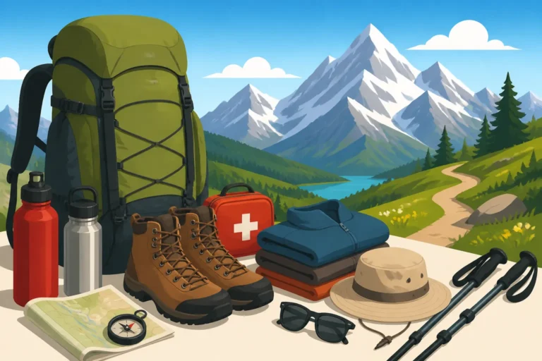
For any hike, you need high-quality boots with good ankle support. If you're tackling the Reintal, refer to What to Pack for Hiking in the German Alps for a detailed breakdown. At a minimum, bring:
- A waterproof hardshell jacket (even in summer).
- At least 2-3 liters of water (there are few spots to refill on the upper slopes).
- High-calorie snacks like nuts or energy bars.
- A physical map or a downloaded offline map on your phone.
- Sunscreen and sunglasses (the snow on the plateau reflects UV rays intensely).
If you are using the mechanical lifts, you can be more relaxed, but a warm fleece is still essential. The summit platform is very exposed, and the wind chill can be brutal. If you haven't booked your travel yet, using Omio can help you find the best regional train prices, especially if you use the How to Buy Deutsche Bahn Tickets and Save Money tips to find "Sparpreis" or "Regio-Ticket Werdenfels" deals.
Accommodation and Logistics in Garmisch-Partenkirchen
Garmisch-Partenkirchen is the heartbeat of the region. It’s a town that manages to be both a high-end resort and a traditional Bavarian village. Because it is so popular, hotels fill up months in advance, especially during the summer and ski seasons. I always recommend using Booking.com to find guesthouses (Pensionen) rather than just big hotels; you’ll get a more authentic experience and often a better breakfast to fuel your climb.
Getting to Garmisch is simple. Regular trains run from Munich Central Station (Hauptbahnhof) every hour. Once you arrive, the town is very walkable, and the local bus system is efficient. If you’re planning to do a multi-day hike, you can often leave your heavy luggage at your hotel or in lockers at the train station. This makes Getting Around Germany: Trains, Buses, Flights, and Car Hire a breeze for international visitors who are carrying more than just a day pack.
Specific Disclaimer
The information provided in this guide is for informational purposes only. Hiking and climbing in high-alpine environments involve inherent risks, including unpredictable weather changes, rockfalls, and physical exhaustion. Always check local weather reports and trail conditions before departing. Ensure you have appropriate insurance coverage for mountain rescue and consult with professional guides if you are unsure of your technical abilities.