How to Find Easy Day Hikes Near German Cities
Many expats and tourists in Germany eventually hit a wall where the historic Altstadts and busy Christmas markets start to feel a bit claustrophobic. You crave the silence of the woods, but you don't have the gear or the stamina for an Alpine expedition. This guide solves that by breaking down exactly how to find easy, accessible day hikes near Germany's biggest cities, ensuring you can swap the pavement for forest trails without any administrative or physical headaches.
Disclosure: This post may contain affiliate links. We may earn a commission at no extra cost to you if you make a purchase through these links. Read full disclosure.
Understanding the German Love for Wandern
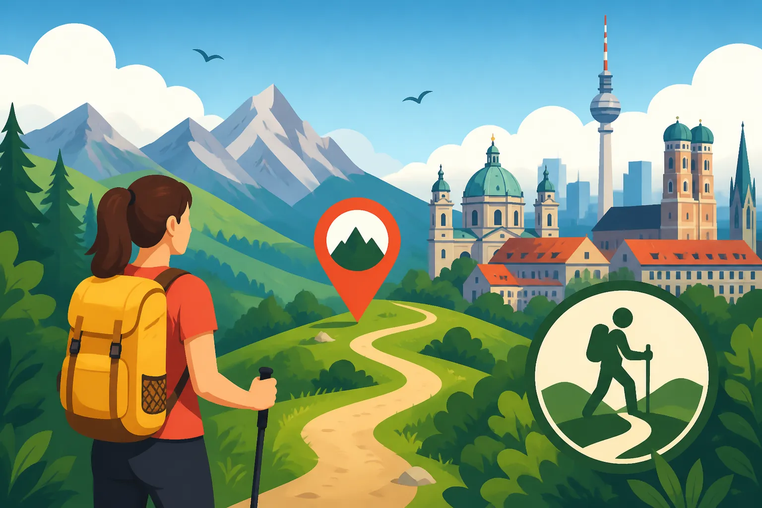
If you have lived in Germany for even a few months, you have likely noticed that "Wandern" (hiking) is practically a national religion. On any given Sunday, you will see families, retirees, and young couples heading toward the local S-Bahn station decked out in Jack Wolfskin jackets and carrying sturdy trekking poles. This can be intimidating if you are just looking for a casual stroll to clear your head. The good news is that the German landscape is crisscrossed with paths that are specifically designed for accessibility and leisure rather than extreme endurance.
The infrastructure for Outdoor Adventures and Nature in Germany is among the best in the world. Trails are meticulously maintained by local hiking clubs, such as the Wanderverband, and are usually clearly marked with color-coded signs. Unlike the rugged backcountry of North America or the steep cliffs of the Scottish Highlands, the "easy" trails near German cities are often wide, relatively flat, and pass through a charming mix of managed forests, agricultural fields, and small villages.
One of the biggest frustrations for newcomers is the fear of getting lost or not knowing how to return to the city. Fortunately, the integration between the national rail system and hiking trails is seamless. You can almost always find a trailhead within a ten-minute walk of a regional train station. This allows you to plan a "linear hike" where you start at one station and end at another, rather than being forced to do a loop back to a parked car.
Choosing the Best Hub for Your First Easy Hike
Germany's federal structure means that every major city serves as a gateway to a completely different type of nature. Whether you are based in the flat plains of the north or the rolling foothills of the south, there is a green escape waiting just outside the city limits. When planning your route, using a platform like Omio can help you compare the costs and times of regional trains versus long-distance buses to reach these trailheads efficiently.
Berlin and the Brandenburg Lakes
Berlin might be a sprawling concrete jungle, but it is surrounded by the state of Brandenburg, which is famously flat and filled with thousands of lakes. If you are looking for Best Day Trips From Berlin, the Grunewald forest is the most obvious starting point. Accessible via the S-Bahn (S7), it offers miles of sandy paths and views of the Havel river. It is almost impossible to find a steep incline here, making it perfect for those who want a nature "fix" without the sweat.
Further east, you can head to the Müggelsee area. A favorite for locals, this region combines forest walks with lakeside promenades. The trails are so well-manicured that you could almost navigate them in stylish sneakers, though light hiking shoes are always better. For those who want something more structured, GetYourGuide often lists guided nature tours or boat-and-hike combinations that take the guesswork out of navigating the Brandenburg thicket.
Munich and the Alpine Foreland
Munich is the undisputed capital of German hiking culture. While the high peaks of the Alps are the main draw, the "Voralpenland" (Alpine foreland) offers incredible easy day hikes that don't require specialized climbing skills. You can take the S-Bahn to Starnberger See or Ammersee for flat, scenic lakeside walks that offer breathtaking views of the mountains in the distance.
For a true forest experience, the Isar River trails stretching south from the city center are a gold mine. You can start at Thalkirchen and walk for hours toward Pupplinger Au. The terrain is mostly gravel and dirt, following the turquoise waters of the river. If you find yourself falling in love with the region and want to extend your stay, checking Booking.com for a cozy guesthouse in a town like Wolfratshausen is a great way to turn a day trip into a weekend of relaxation. You can find more detailed tips in our guide on Bavaria for Travelers: Munich, the Alps, and Beyond.
Frankfurt and the Taunus Range
Frankfurt is often seen as a cold, financial hub, but the Taunus mountain range sits right on its doorstep. The U-Bahn (U3) takes you directly to Hohemark, which is the gateway to the Großer Feldberg. While the summit is the highest point in the region, the lower slopes are filled with "easy" paths that wind through ancient beech forests.
The Taunus is particularly beautiful in the autumn when the leaves turn a vibrant gold. These trails are often wide enough for families with strollers, yet they feel deep enough in the woods to make you forget the skyscrapers of the banking district. If you are coming from further away, like Cologne or Stuttgart, using Omio to book a high-speed train to Frankfurt Main Station makes these trails accessible even for a quick Saturday escape.
Essential Tools and Apps for the Modern Hiker
In the old days, you had to rely on paper "Wanderkarten" that were difficult to fold and even harder to read. Today, the digital landscape has made finding easy hikes incredibly simple. However, you must be aware that mobile reception in German forests can be shockingly poor. Even a few kilometers outside a major city, you might find yourself in a "Funkloch" (dead zone).
Navigating with Komoot and Outdooractive
The two heavy hitters in the German hiking world are Komoot and Outdooractive. Komoot, in particular, is highly popular because of its community-driven "Highlights." Users pin beautiful viewpoints, interesting rock formations, or even particularly good "Biergartens" along the trails. When searching for a hike, you can filter by "Easy," "Fitness Level," and "Public Transport Accessible."
Outdooractive tends to be used more by the "serious" hiking community, but its maps are exceptionally detailed regarding official trail markers. Both apps allow you to download maps for offline use—a step I highly recommend. If you are worried about the logistics of getting to the start of these trails, refer to our guide on How to Use the DB Navigator App in Germany to ensure you have the latest platform and delay information at your fingertips.
Public Transport and the Deutschland-Ticket
The revolution in German day-hiking came with the introduction of the 49-Euro ticket. This monthly pass has made the "linear hike" more affordable than ever. You no longer have to worry about the complex tariff zones of different transport associations like the BVG in Berlin or the MVV in Munich. You can simply hop on any regional train (RE or RB) and head into the wilderness.
For a deeper dive into how this works, check out our article on What Is the Deutschland-Ticket and Is It Worth It?. It is arguably the best investment an expat can make for their mental health, as it removes the financial barrier to exploring the countryside. Just remember that the ticket is not valid on high-speed IC or ICE trains, so for those faster connections, you'll still want to use Omio to find the best deals.
Decoding the German Trail Signage System
One of the cultural shocks for many foreigners is the specific way Germans mark their trails. You won't always see a giant sign saying "This way to the lake." Instead, you will see small symbols painted on trees or fence posts. Understanding these is key to a stress-free day.
| Symbol Type | Meaning | Difficulty Level |
|---|---|---|
| Yellow Circle/Diamond | Local loop or short walking path | Very Easy |
| Blue Cross or Stripe | Main regional hiking trail | Easy to Moderate |
| Red Stripe or Triangle | Long-distance or mountain trail | Moderate to Difficult |
| White Letter on Black | Specific themed trail (e.g., "H" for Hermannsweg) | Varies |
When you are looking for an easy hike, stick to the yellow or blue markers. These trails are usually wider and have fewer roots or rocks to trip over. If you see a sign with a stylized "mountain" icon or a red marking, be prepared for a bit more elevation. Most trailheads will also have a large "Wanderkarte" board with a "You are here" (Sie befinden sich hier) sticker. It is a good habit to take a photo of this map with your phone before you start walking, just in case your GPS fails.
Etiquette and the Rule of Ruhezeit
In Germany, the forest is a place of "Erholung" (recovery). This means there are unwritten social rules you should follow to avoid the legendary "German Stare" from fellow hikers. First and foremost is the concept of "Ruhe" (quiet). While it is perfectly fine to chat with your friends, blasting music from a portable speaker is a major faux pas and will likely result in a stern lecture from a passing "Wanderer."
Another important aspect is the "Grüßen" (greeting) culture. On a busy trail near the city, you don't need to say hello to everyone. But once you get deeper into the woods, it is customary to offer a friendly "Hallo," "Guten Tag," or "Servus" (in the south) to people you pass. It creates a sense of community and safety. If you are exploring the southern regions, our guide on Germany's Regions and Where to Go: A Traveler's Overview can give you more context on these local linguistic quirks.
Lastly, respect the "Wegerecht" (right of way). If you are on a narrow path and someone is hiking uphill, it is polite to step aside and let them pass. Germans take their trail etiquette seriously, and showing that you understand these norms will make you feel much more integrated into the local culture.
Planning Your "Base Camp" for Longer Trips
Sometimes, a single day isn't enough to satisfy your craving for the outdoors. If you find a region you particularly love—like the Harz mountains near Hanover or the Black Forest near Stuttgart—it is worth looking for accommodation that caters specifically to hikers. Many hotels listed on Booking.com carry the "Wanderfreundlich" (hiker-friendly) seal, meaning they offer early breakfasts, place-to-place luggage transport, and drying rooms for wet gear.
If you are traveling with a group or a family, look for "Ferienwohnungen" (vacation apartments). These allow you to prepare your own "Brotzeit" (hiking snack) of dark bread, mountain cheese, and landjäger sausage. For those who prefer a bit more guidance, GetYourGuide often features multi-day hiking packages that include accommodation and pre-planned routes, which can be a lifesaver if you are still struggling with the German language.
A Quick Comparison of Easy Hikes Near Major Cities
| City | Recommended Area | Best Transport Link | Vibe |
|---|---|---|---|
| Berlin | Grunewald | S7 (S-Bahn) | Pine forests and sandy riverbanks |
| Munich | Isar Valley | S7 to Ebenhausen-Schäftlarn | Turquoise river and pebbly shores |
| Frankfurt | Taunus (Hohemark) | U3 (U-Bahn) | Ancient beech trees and rolling hills |
| Hamburg | Altes Land | S3 to Neugraben + Bus | Fruit orchards and dyke walks |
| Cologne | Königsforst | Line 9 (Tram) | Massive urban forest and flat loops |
Final Tips for a Successful Day in the Woods
Before you head out, always check the weather forecast. German weather can be unpredictable, and a "leicht bewölkt" (lightly cloudy) day can turn into a "Platzregen" (downpour) in minutes. Even on easy trails, a light waterproof shell is essential.
Also, don't forget the importance of the "Einkehr"—the stop at a forest restaurant or mountain hut. Most easy hikes near cities are designed to pass by a "Waldgasthaus" where you can get a cold Radler and a slice of "Apfelkuchen." This is arguably the most important part of the German hiking experience. If you are unsure where to find these gems, the Hiking in Germany: The Black Forest, Alps, and Beyond guide covers the "hut culture" in much more detail.
Finding these easy escapes is not just about exercise; it is about reclaiming your peace of mind in a country that can sometimes feel bureaucratic and intense. By using the right apps, respecting the local etiquette, and taking advantage of the incredible Regional Trains and the Deutschland-Ticket Explained, you can turn any weekend into a refreshing nature retreat.
Disclaimer
The information provided in this guide is for informational purposes only. While we strive to provide accurate and up-to-date details regarding trails and transportation, conditions can change rapidly. Always check local weather reports and official transit websites before departing. Hiking involves inherent risks, and you are responsible for your own safety and equipment.