How to Hike in the Black Forest
Many expats and tourists arrive in Southwest Germany expecting a gentle stroll through a few pine trees, only to find themselves overwhelmed by the sheer scale of the 6,000 square kilometers of the Schwarzwald. Navigating thousands of intersecting trails without a plan often leads to missed vistas and exhausted legs. This guide breaks down exactly how to conquer the Black Forest like a seasoned local.
Disclosure: This post may contain affiliate links. We may earn a commission at no extra cost to you if you make a purchase through these links. Read full disclosure.
Planning Your Base of Operations
When I first moved to Germany, I made the classic mistake of thinking I could just "stay in the Black Forest." I quickly realized that the region is massive, stretching from the Swiss border all the way up to Karlsruhe. Choosing the right base is the difference between spending your day on a scenic trail or stuck in a winding car journey. Your choice of location should depend entirely on the type of terrain you want to tackle.
If you are looking for rugged, high-altitude peaks and glacial lakes, you want to head to the Southern Black Forest (Hochschwarzwald). Towns like Titisee, Schluchsee, or the city of Freiburg are excellent starting points. Freiburg, in particular, offers a perfect blend of urban comfort and immediate trail access. You can take a tram to the edge of the city and be ascending the Schauinsland mountain within minutes. For those who prefer a more luxury-oriented experience combined with easier woodland walks, the Northern Black Forest around Baden-Baden is ideal. The trails here are often wider and more manicured, perfect for a relaxed weekend.
Central Black Forest towns like Triberg or Hausach are best for those obsessed with the cultural side of the region—think deep valleys, traditional farmhouses, and the highest concentration of cuckoo clocks. When looking for lodging, I usually check Booking.com to find traditional "Gasthöfe" (guest houses) that offer the KONUS card, which is a total game-changer for hikers. This card gives you free use of regional buses and trains, allowing you to hike from one town to another without worrying about how to get back to your car. Before you settle on a region, take a look at Germany's Regions and Where to Go: A Traveler's Overview to see how the Black Forest fits into your broader German itinerary.
The Logistics of Getting to the Trailhead
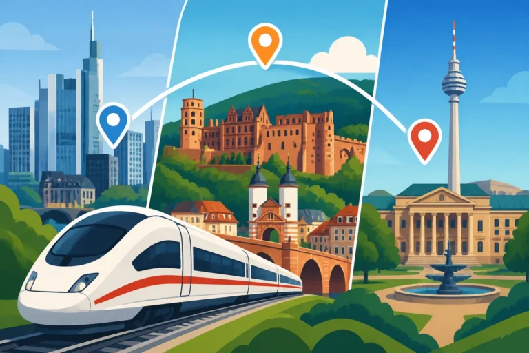
The German transport system is your best friend when it comes to hiking. Unlike back home, where you often need a 4×4 to reach a trailhead, most Black Forest routes are perfectly synced with the Deutsche Bahn. If you are coming from further afield, such as Berlin or Munich, you can use Omio to compare high-speed train prices versus regional bus options to reach gateways like Offenburg or Freiburg. Once you are in the region, the local train lines, such as the Schwarzwaldbahn, are legendary for their views.
Using the KONUS guest card is something I cannot emphasize enough. Most hotels and holiday rentals in the Black Forest participate in this scheme. You pay your standard "Kurtaxe" (tourist tax), and in return, you get a card that serves as your ticket for the entire regional network. This allows for "linear hiking," which is far superior to circular routes. You can start in Triberg, hike 20 kilometers through the woods to St. Georgen, and simply hop on a train back to your starting point. It removes the logistical headache of loops and allows you to see much more of the landscape.
For those who prefer a more structured start, I often suggest looking at GetYourGuide for guided day trips, especially if you’re interested in the history of the Wutach Gorge or the hidden waterfalls near Todtnau. A guide can help you navigate the more technical sections that aren't always clearly marked for English speakers. For more details on navigating the wider country, check out Getting Around Germany: Trains, Buses, Flights, and Car Hire.
Understanding the Diamond System
The signage in the Black Forest is a masterpiece of German engineering, but it can be confusing if you don't know the code. The entire forest is managed by the Schwarzwaldverein (Black Forest Association), and they use a system of colored diamonds to tell you exactly what kind of trail you are on.
A red diamond marks the long-distance "Fernwege." The most famous of these is the Westweg, which runs the entire length of the forest. If you see a red diamond, you are on a major arterial route that is well-maintained and usually offers the most dramatic scenery. A blue diamond indicates a regional trail. these usually connect larger towns or lead to significant natural landmarks. Finally, the yellow diamond marks local trails. These are the "bread and butter" of the forest, often leading to specific viewpoints, local restaurants, or back to a village.
When you are out on the trail, you will also see "Wegweiser" (signposts) at every major junction. These posts give you the names of the next destinations and, crucially, the distance in kilometers. I’ve found these to be incredibly accurate. However, don't just rely on the signs. Weather can change fast, and fog can obscure a yellow diamond on a pine tree quite easily. I always recommend downloading offline maps or carrying a physical Kompass map of the specific area. For those looking to maintain their stamina for these long treks, reading up on Staying Fit in Germany: Joining Gyms, Pools, and Sports Clubs can provide tips on year-round conditioning.
| Diamond Color | Trail Type | Best For | Difficulty Range |
|---|---|---|---|
| Red Diamond | Long-Distance (Fernwege) | Multi-day treks and high peaks | Moderate to Strenuous |
| Blue Diamond | Regional (Regionalwege) | Day hikes between major towns | Easy to Moderate |
| Yellow Diamond | Local (Örtliche Wanderwege) | Afternoon strolls and loops | Easy |
| Red Diamond with White Bar | Westweg | The ultimate 285km challenge | Strenuous |
Essential Gear and Seasonal Realities
The Black Forest has its own microclimate. You might start a hike in Freiburg in 25-degree sunshine and find yourself in a shivering 10-degree mist at the top of the Feldberg an hour later. Layering is not just a suggestion; it is a survival tactic. I always pack a high-quality windbreaker and a merino wool base layer, regardless of what the forecast says.
Footwear is another area where I see many newcomers struggle. The trails in the Black Forest vary from soft forest floors to jagged, rocky paths. While you don't necessarily need heavy mountaineering boots for a yellow-diamond trail, a sturdy pair of hiking shoes with good grip is non-negotiable. The "Birkis" might be great for the city, but they will fail you on the slippery roots of the Ravennaschlucht.
Before heading out, it is vital to check the local weather. The mountains here are not the Alps, but they are high enough to trap clouds for days. If you're planning a trip, consult Weather in Germany: Seasonal Guide and How to Prepare to understand the nuances of the "Übergangszeit" (shoulder seasons) when trails can be particularly muddy or icy. Also, be aware that the sun sets surprisingly early in the deep valleys, so always carry a headlamp if you're starting your hike after noon.
Staying Safe and Respectful on the Trail
Safety in the Black Forest isn't just about avoiding a fall; it's about the smaller things that people often overlook. The most significant biological threat in the forest isn't a wolf or a bear—it's the tick (Zecke). Ticks in Southwest Germany can carry FSME (Tick-borne encephalitis) and Lyme disease. I never hike in short socks; I always tuck my trousers into my socks and use a spray containing DEET. After every hike, do a full-body "tick check." For more on this, read Mosquitoes and Ticks: Preventing Bites and Diseases (Lyme, TBE) in Germany.
If you do find yourself in a pickle, knowing the right numbers is essential. Germany's emergency services are incredibly efficient, but you need to know how to reach them in a forest setting. You can find a comprehensive list in Emergency Numbers in Germany: Calling 112, Poison Control, and More. If you have to describe your symptoms to a responder, it helps to have a few Common German Medical Terms: A Mini Dictionary for Patients handy.
Respecting the "Ruhezeit" (quiet time) and the environment is part of the local hiking culture. Germans take their "Wandern" seriously. Stick to the marked paths to protect the sensitive ground-nesting birds, and always take your trash back with you. You will notice that the trails are remarkably clean; let's keep them that way. Also, remember that many mountain huts are closed on certain days of the week (Ruhetag), so always check the hut's website before counting on them for lunch.
Cultural Experiences and Mountain Gastronomy
One of the greatest joys of hiking in the Black Forest is the "Hütteneinkehr"—the stop at a mountain hut for food and drink. This isn't just about refueling; it's a cultural ritual. When you walk into a hut like the Stollenbacher Hütte or the Baldenweger Hütte, you are stepping into a world of wood-paneled "Gemütlichkeit."
The go-to meal for most hikers is the "Vesperplatte," a wooden board loaded with local smoked ham (Schwarzwälder Schinken), mountain cheese, pickles, and thick slices of sourdough bread. If you want something warm, look for "Linseneintopf mit Spätzle" (lentil stew with egg noodles). And, of course, you cannot leave without a slice of "Schwarzwälder Kirschtorte." The version you find in these mountain huts is often far superior to anything in the city, usually soaked in a healthy dose of Kirschwasser (cherry brandy). You can learn more about these delicacies in German Regional Dishes Every Visitor Should Try.
For a deeper dive into the villages you’ll pass through, such as Schiltach with its half-timbered houses or Triberg with its waterfall, see The Black Forest: Villages, Trails, and Cuckoo Clocks. These stops provide a much-needed break for your legs and a chance to see the craftsmanship that has defined this region for centuries. Whether you're exploring the deep woods or the high meadows, the Black Forest offers a variety of experiences that go far beyond just walking. If you are looking for a more comprehensive overview of how to tackle these routes, Hiking in Germany: The Black Forest, Alps, and Beyond is an excellent next step.
Disclaimer
This guide is intended for informational purposes only. Hiking involves inherent risks, and trail conditions can change rapidly due to weather or maintenance. Always check local forecasts, wear appropriate gear, and inform someone of your planned route before setting off. The author and publisher are not responsible for any injuries or losses sustained while following the advice in this article. All travel and insurance arrangements should be verified independently.